

River’s End
I traced the Ocklawaha to its meeting point with the St. Johns River. But instead of an ending, I found a deeper connection.

The River She Loves
I joined Captain Erika Ritter on the Anhinga Spirit to visit the places she knew before the dam. Together, we explored forgotten springs and talked about the river’s future.

The Middle
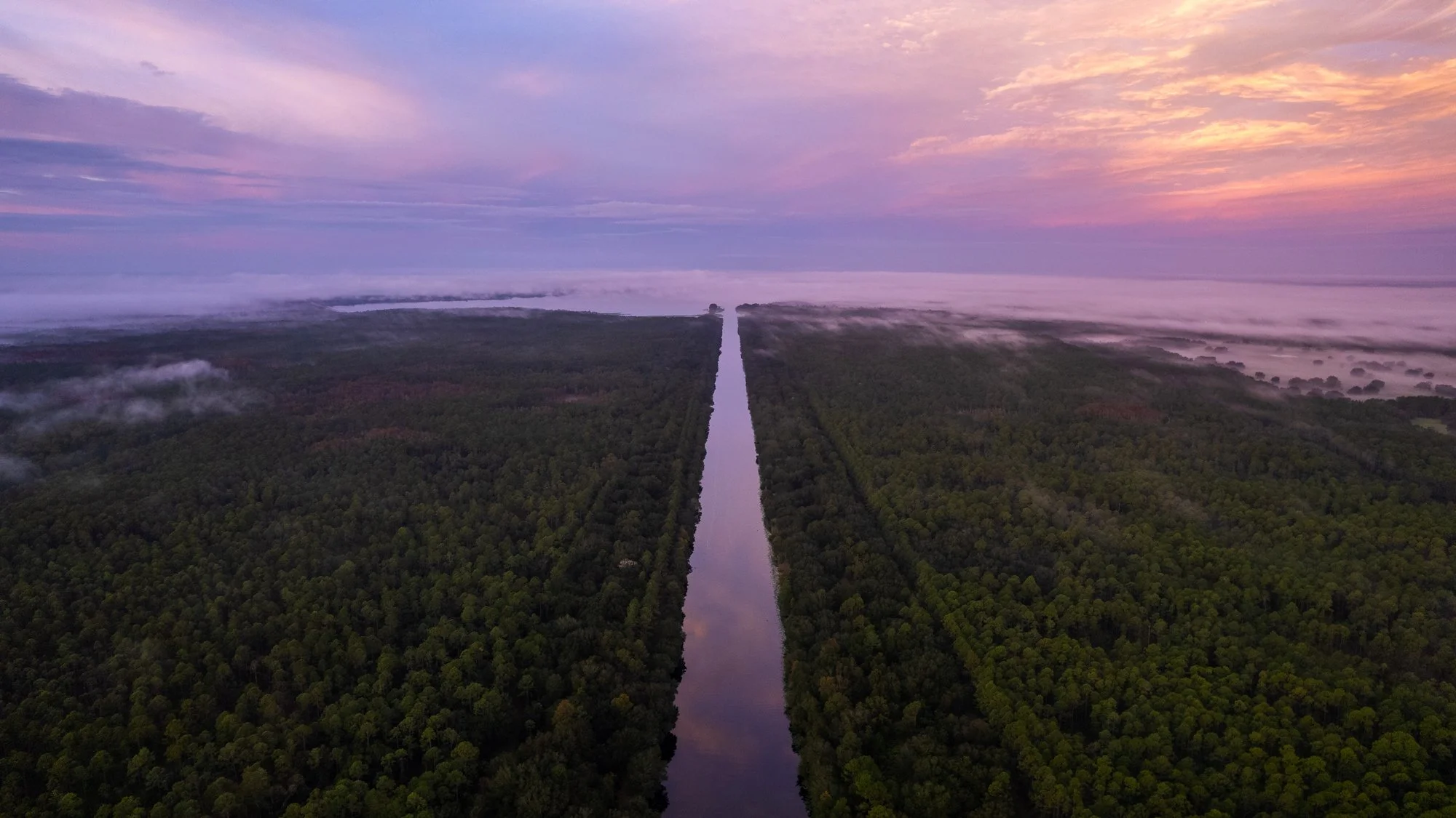
Jenny and I journeyed through the Middle Ocklawaha River, uncovering Florida’s wild beauty and the history that lingers around every bend.

Two Rivers: The Upper Ocklawaha
On the upper Ocklawaha, I saw two versions of the river: one shaped by nature, the other by human hands. The contrast felt personal.

Home on the Reservoir
I’ve been curious about the people who support the Kirkpatrick Dam, so I coordinated a tour on the Rodman Reservoir with local resident Harvey McGuire.
Structures
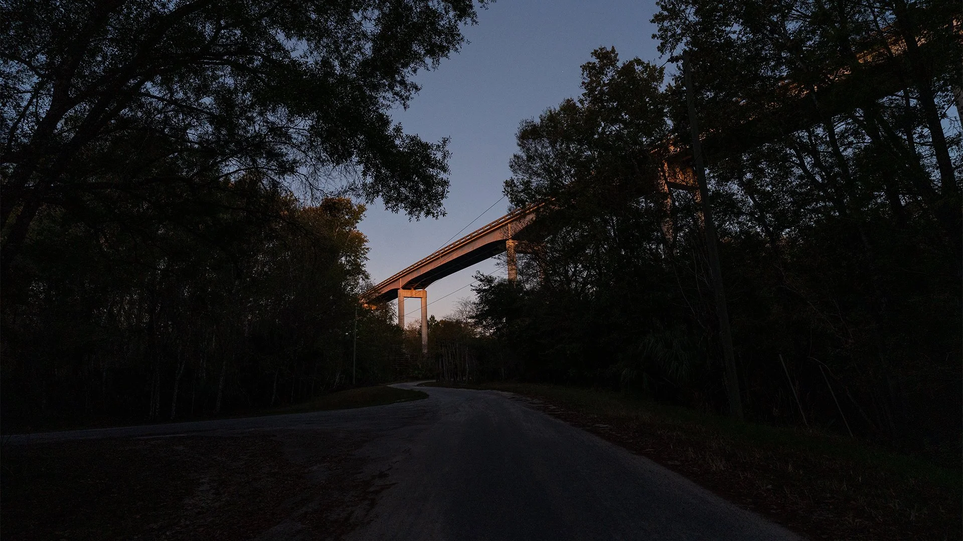
I planned to visit Ray Wayside Park but ended up at the Eureka Bridge. This post looks at the bridge and the overlooked structures that shape the Ocklawaha River.

Silver River
The Ocala National Forest was recently listed on National Geographic’s Best of the World 2025, a list compiling the 25 best places in the world to visit. Jenny and I drove our Kayaks to Silver Springs State Park, located in the Ocala National Forest, and paddled the Silver River.

Golden Summer
I spent the summer shooting exclusively on Kodak Gold 200 and my Hasselblad 500cm.


Kayak Camping on the Ocklawaha River
We kayak camped along the Ocklawaha River in a storm while sick.